$10K Hidden Shed Riddle Breakdown - Arizona
To view the location of the Arizona $10K Hidden Shed on your map tap on this link from your mobile device:
Or copy and paste the following coordinates:
Seek the wisdom of the brother, the quinary of the land.
Answer
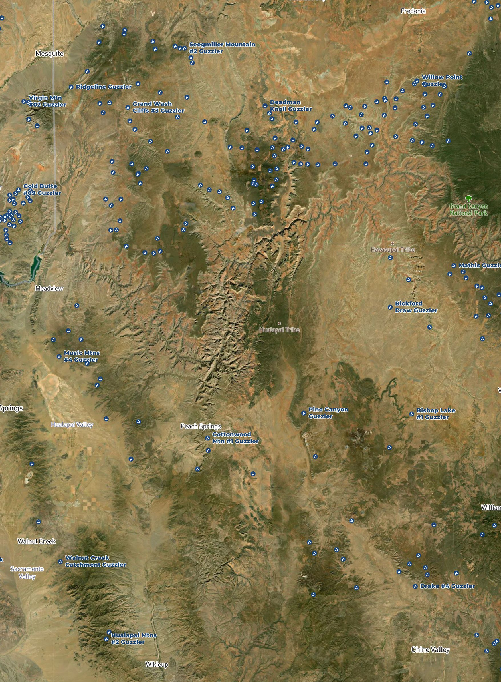
Mohave County
Explanation:
According to Mojave beliefs, Matavilya was killed before he could teach people how to live in mortality. His younger brother, Mastamho, replaced him as the teacher and taught the people everything.
Mohave County is the 5th largest county by area in the US.
Here you cannot hear the hymns of the past, where the bird's ballad no longer follows its guiding hand. Avert the sprawling vast and any Wilderness grass, you'll find there is no ten Grand.
Answer
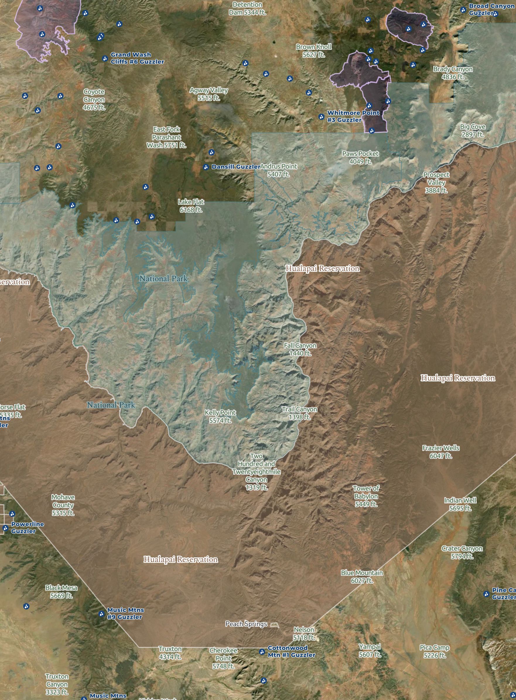
Hualapai Indian Reservation
Avoid Grand Canyon National Park and surrounding Wilderness Areas
Explanation:
One distinct characteristic of the Hualapai tribe is their Bird Singing and dance. This includes the use of a gourd to shake to the rhythm of the song they sing.
This indicates that the Hidden Shed is not on their land (public land only) nor on the bordering National Park or surrounding Wilderness areas, but somewhere near them.
Uncovered and exposed you'll find your aim. Don't get confused though, you'll need Buckskin all the same. Oh, and consider extra gas or a well watered ass. Be prepared or you'll end up last.
Answer
The Arizona Strip
Explanation:
Uncovered and exposed = strip
Buckskin, or the "Buckskin Apostle" was the nickname given to Jacob Hamblin for his association with the natives throughout the area and his pioneering of the AZ strip region.
Given the rough country of the Strip, being prepared with water and gas is a good idea, otherwise you'll end up being what people search for.
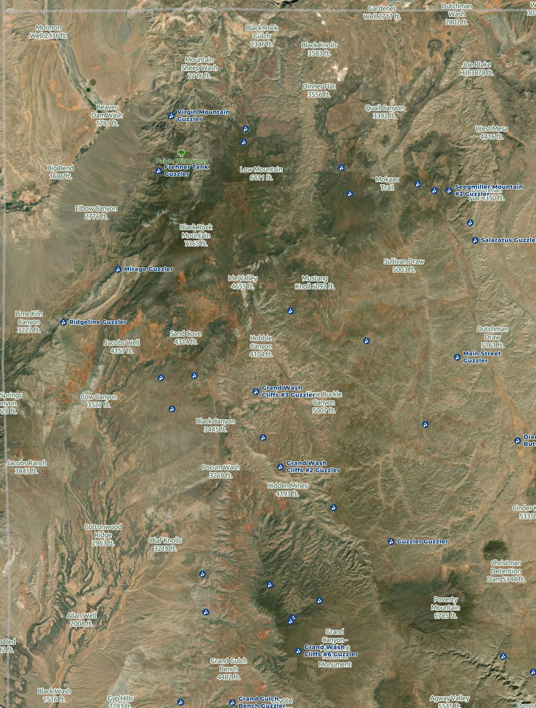
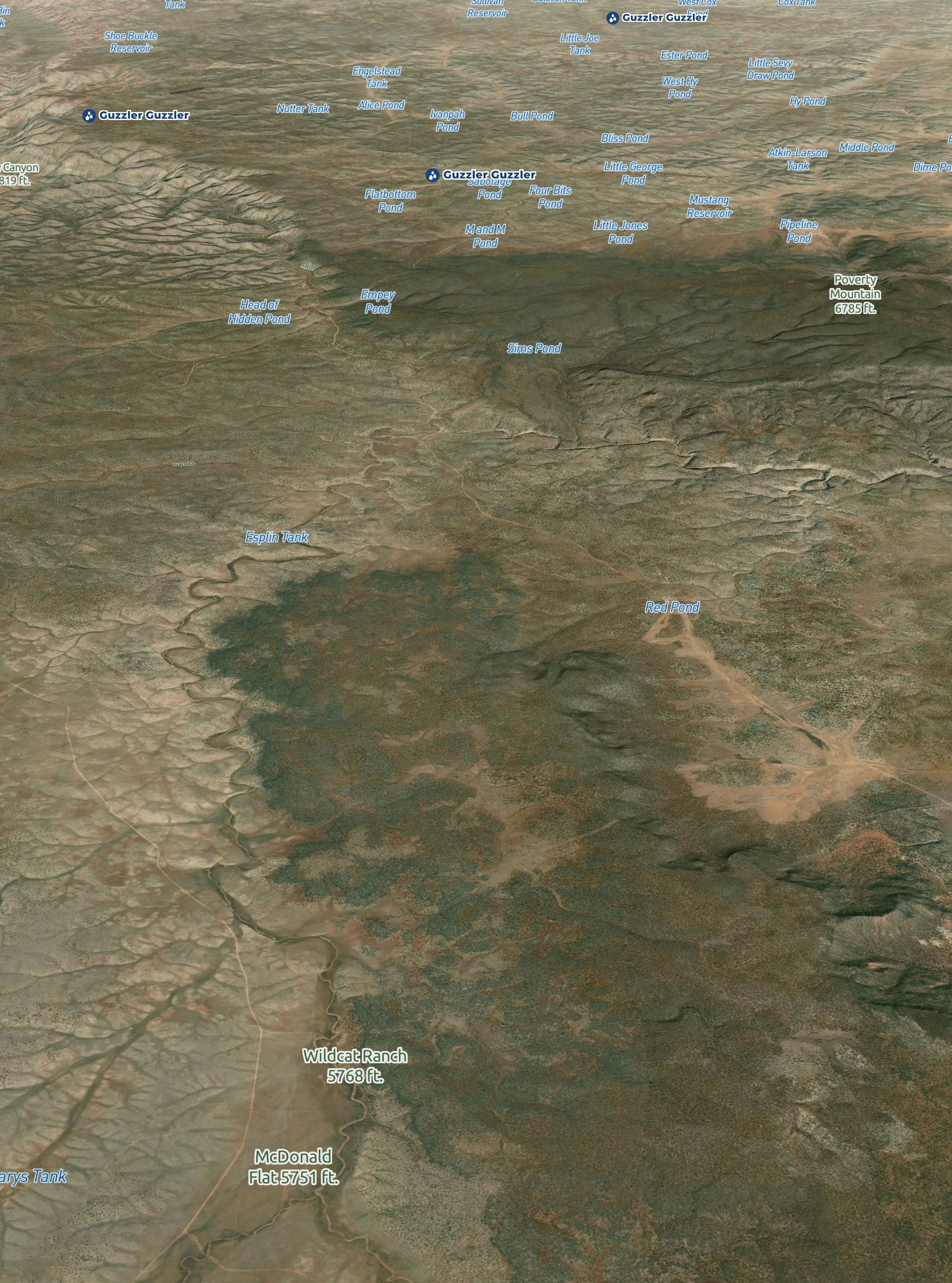
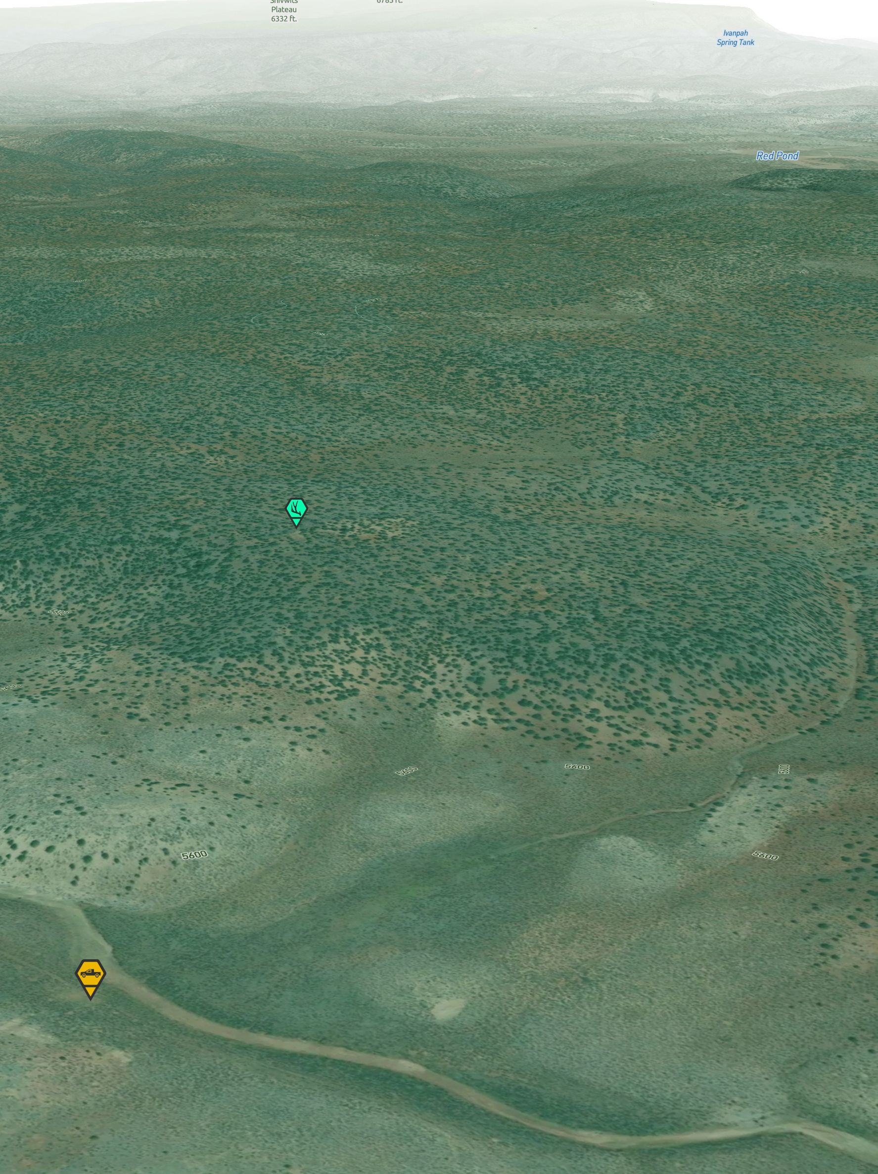
Find the two crab-like paths reaching out from the prehistoric past. Both will wash their way to the zone, but the lower practically points home.
Answer
Parashant Canyon and Wash, and surrounding features.
Explanation:
Starting from Parashant Canyon/Wash (from the Colorado River), continuing through Andrus Canyon and Dansill Caynon, this canyon wash heading north leads to the area west of Grassy Mountain where the Hidden Shed was placed. This is the lower canyon that points home (to the shed).
The canyon on the north of Copper Mountain also leads to the same area, albeit, over a greater distance.
From an aerial view, these two primary canyons together reaching out from the Grand Canyon National Park (the prehistoric past) resemble that of a crab's claws.
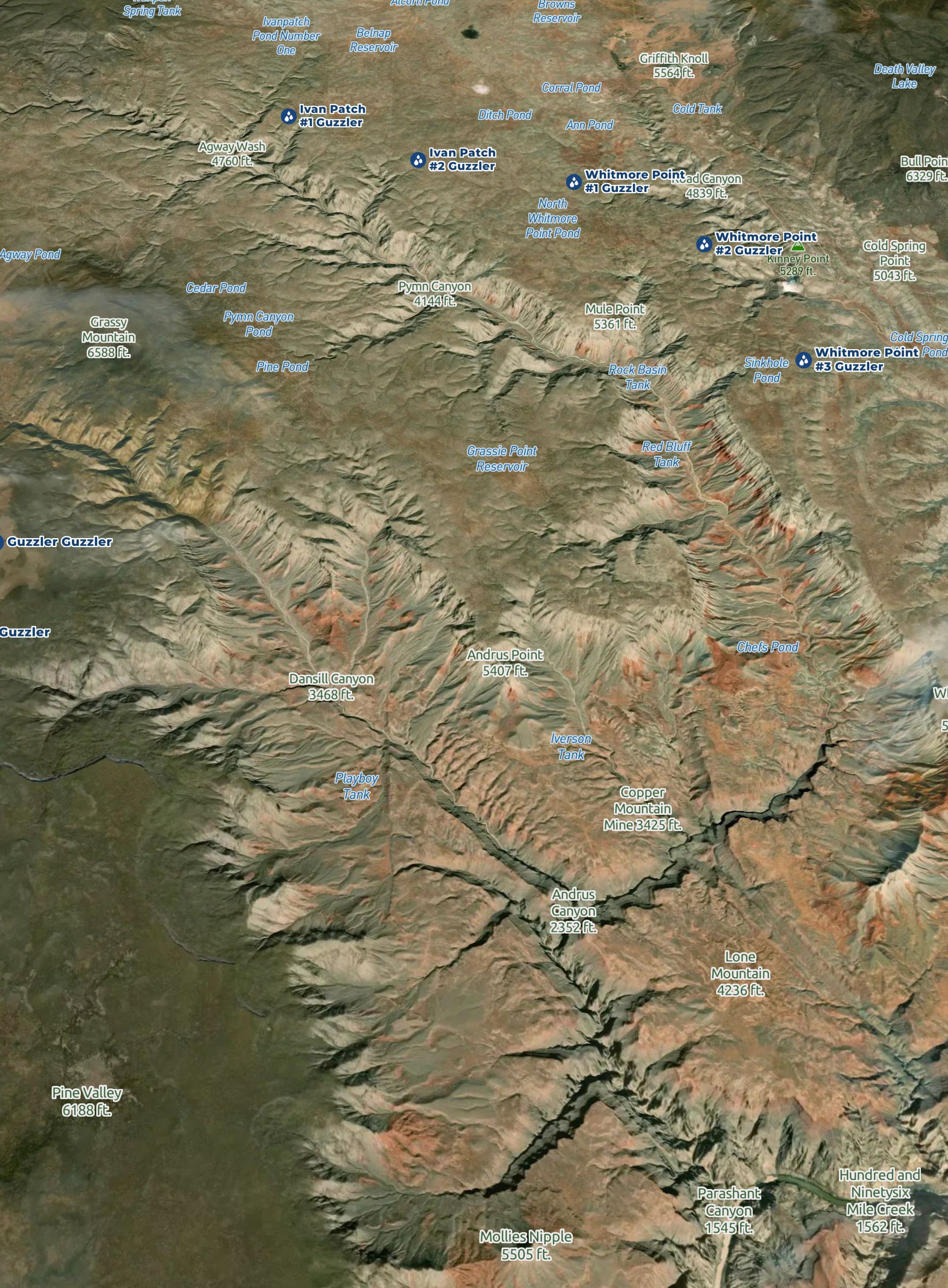
If you're looking to secure that dollar, finding Red and Blue water will reduce the broader. These can mark the start of your journey by foot, but we can't lie where it's put. We'll offer you a better route so you better not pout.
Answer
"Red water" = Red Pond
"Blue water" = Esplin Tank
Explanation:
From either of these two spots you could find your way to the Hidden Shed by foot. Although, that's a lot of ground to cover from there. This indicates you're within range of the Hidden Shed given these two reference points.
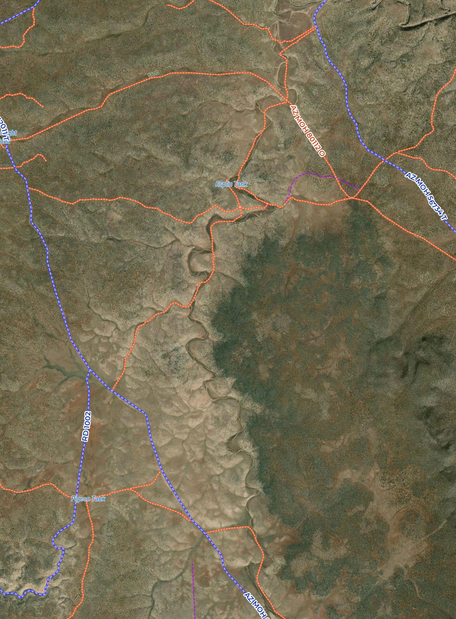
Follow the road that leads south from the tank filled with foreign melancholy. But don't go pioneer, you'll find a red block, steer and fear. Simply veer left and you'll start to hear your cheer. You'll know when to stop, as your path comes to a small dirt clear.
Answer
"Foreign melancholy" = Esplin (Spanish: Esplín) Tank
Red Block = Private land (Bridlebit Three Cattle Company)
Explanation:
Esplin is interpreted as "blues", "depression" or "melancholy" in Spanish. Esplin Tank is referenced twice accordingly.
Following the existing roads south lead to the spot of the Hidden Shed, noting the private land as the limit to as far as you needed to drive. The updated line change is noted on the next line.
Hint:
UnPaved™ Layer - Orange class to Blue class and to Orange (on the left when heading south).
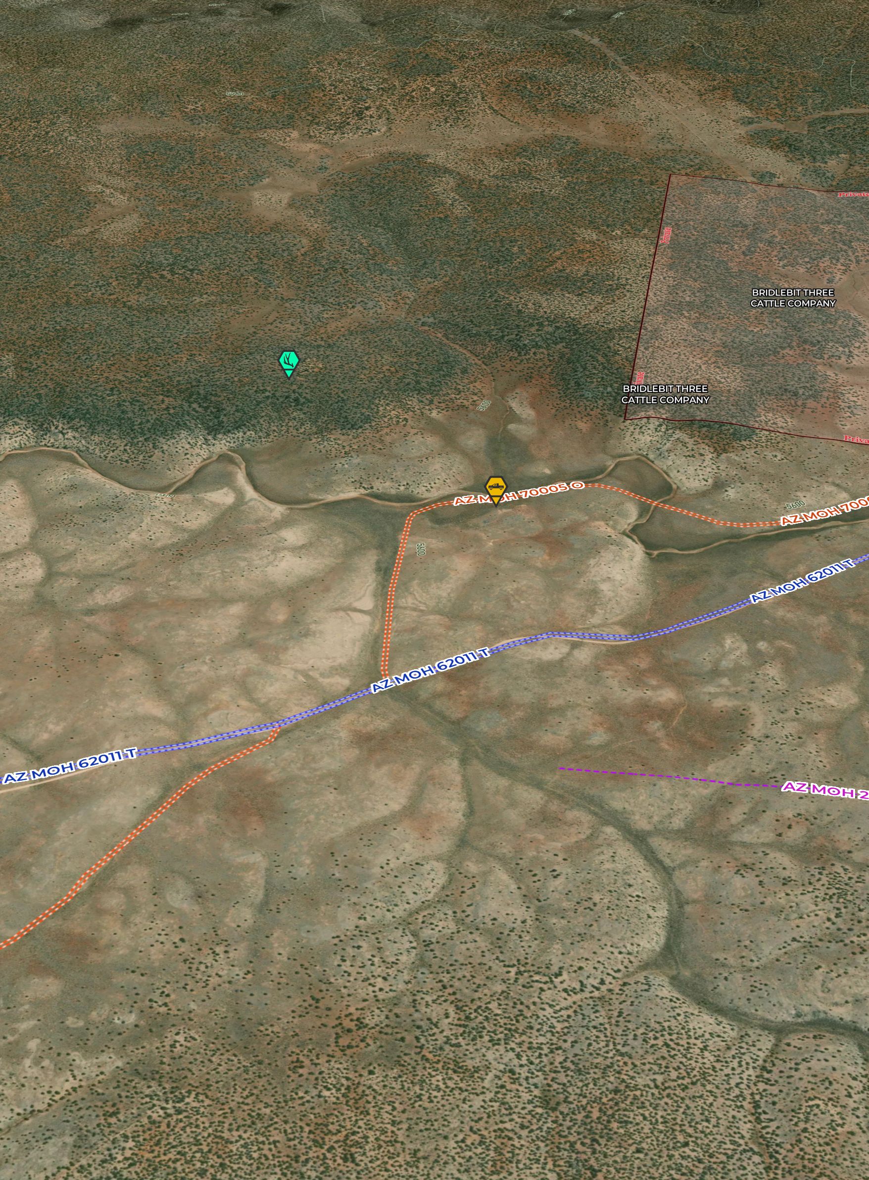
You'll know when to park when you see an old road on the left, but has since overgrown. To avoid a groan from the man of the zone, walk this path by foot until it comes to a small dirt clear and continue as previously known.
Answer
Park where the Blue Road (CR-103, or AZ MOH 62011T with UnPaved™) turns off east (Orange road) before reaching the private land, and continue by foot from there.
Explanation:
This line change was made in response to a shed hunter reporting a run-in with a wildlife officer for driving on an unofficial road. That short extension of the road that was referenced in the original line has since overgrown and now shows a less clear path than it had at the time of the placement of the Hidden Shed. We felt it necessary to update the Riddle to avoid any other potential issues for the shed hunters and the agency.
By parking where the Blue road meets the Orange road on the left, you can continue by foot to pick up the Hidden Shed as previously described in Riddle.
Look over your right shoulder to find a pile of rocks that say it's time to put on some fresh socks.
Answer
By following the old Orange road to the dirt clearing you can see some minor rock formations to the west, over your right shoulder when facing south. An affirmation that you're really close.
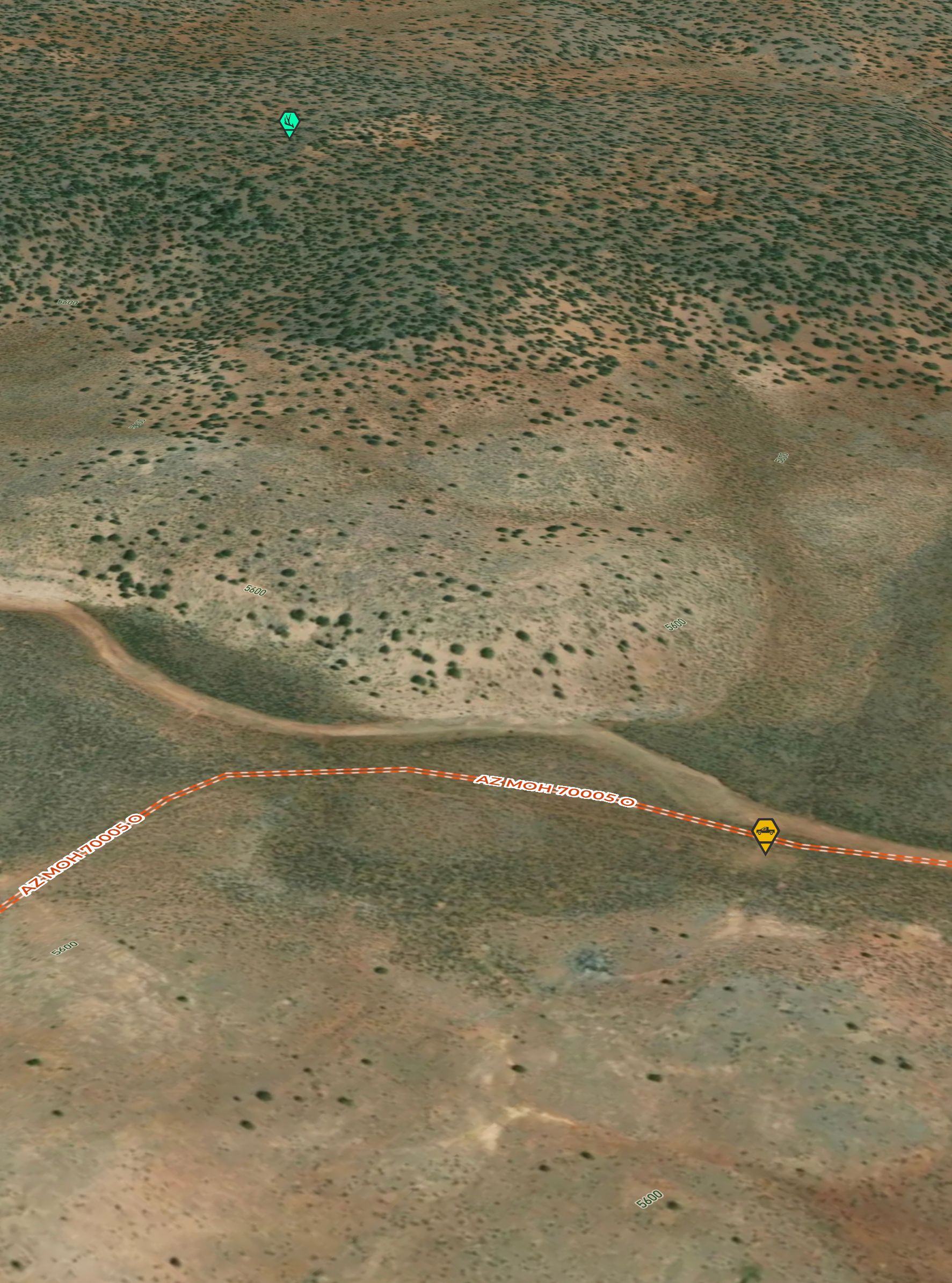
You're almost to the spot, leave your motor (or ass) and hop across the wash for a shot. Follow the path ahead, and enter the teal with zeal.
Answer
Crossing the wash that follows the road down from Esplin Tank indicates which direction to go from the dirt clearing. A natural path leads east onto the hill.
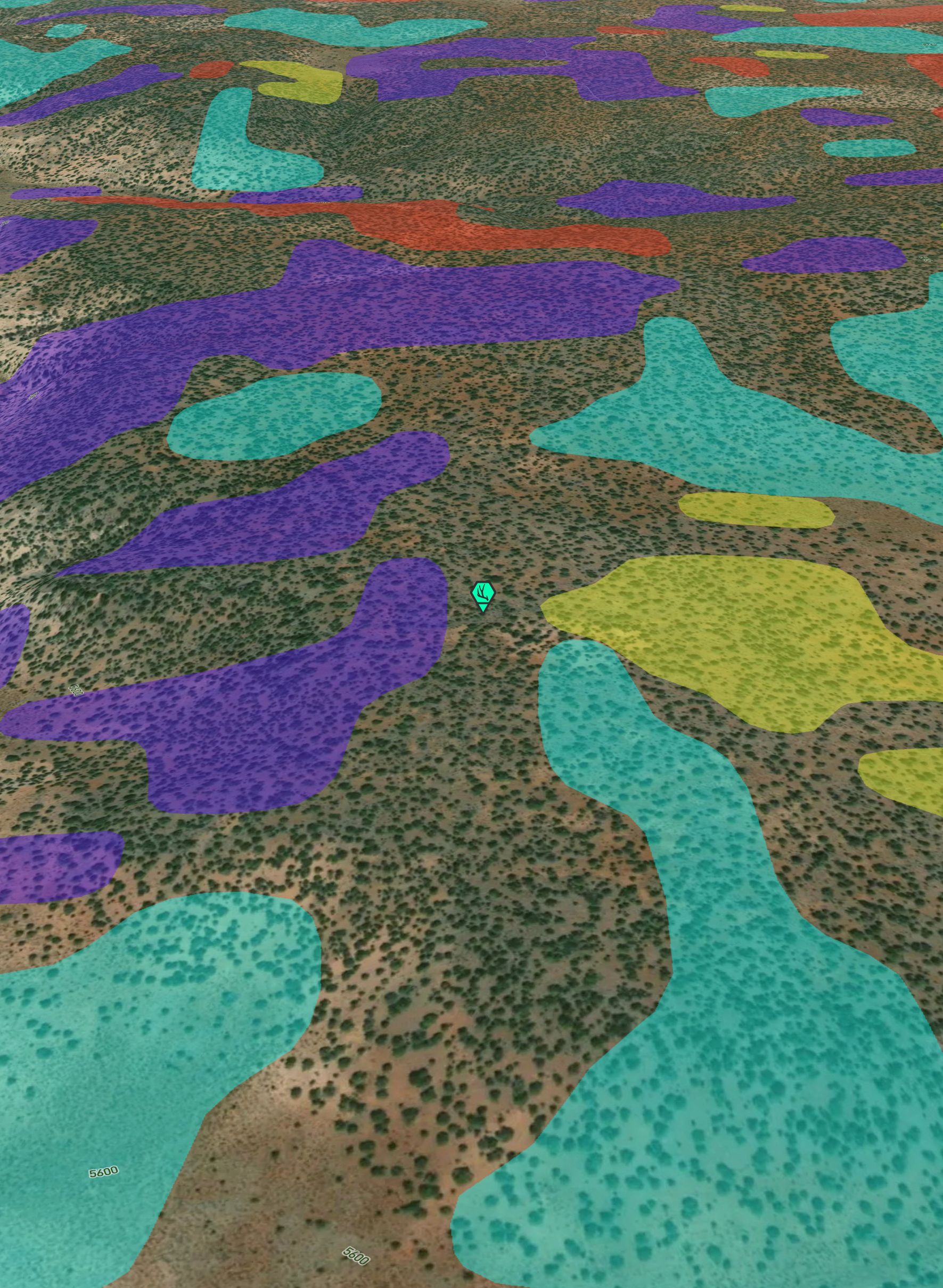
The teal with zeal is tricky. In reference to the Elevation Bands layer, it is also relatively out of order from the standard macro to micro guidance of the Riddle. It served as confirmation of the correct area.
Like cloud nine, raising you up as this gets real, follow this shed hunter's color to where it nears the others to seal the deal.
Answer
South facing slope
Explanation:
Following the path that leads up the hill with a slight increase in elevation, you cross a south facing slope. In the Scout To Hunt App, south facing slopes are highlighted as blue with the Slopes layer.
The Hidden Shed is not on a south facing slope, however. The south slope leads to the other adjacent slopes. Indicating which area to focus on gridding for the Hidden Shed, noted on the next line.
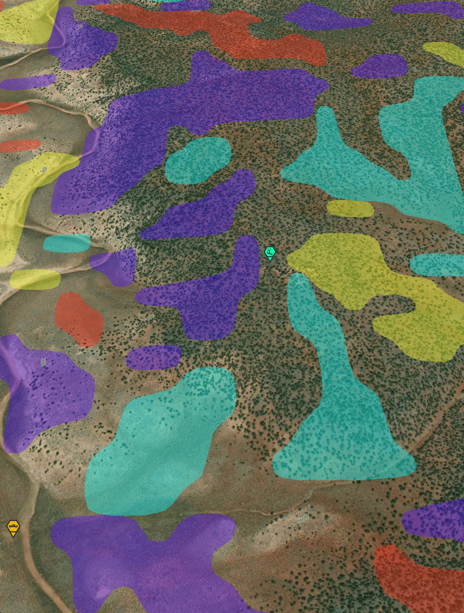
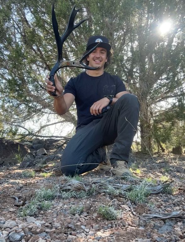
Here you'll discover, hopefully before summer, in this space, you must pace. What remains of a buck appears stuck, with its tines up.
Answer
A mule deer shed was hidden in the space between the slopes.
Hint:
Slopes Layer
The question ahead, where is the next Hidden Shed(s)?